
- +255756202615
- +255756206390
- freviamining@gmail.com
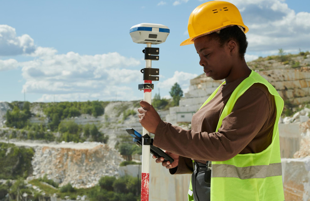
We provide advanced geomatics and surveying services, including digital terrain modelling (DTM) creation and management, and surveys of excavations, dumps, stockpiles, and dams with accurate volumetric analysis and reconciliation. Our expertise covers spatial, aerial, mining, engineering, and hydrographic surveys, as well as 3D modelling of built environments.
We also offer deformation monitoring for natural and man-made structures, survey control establishment and management (traverse, resection, and intersection), survey station database management, and GIS-related services. Additionally, we support both underground and open-pit geotechnical engineering.